

What lies beneath? Engineers draw down Mississippi in Minneapolis
Go Deeper.
Create an account or log in to save stories.
Like this?
Thanks for liking this story! We have added it to a list of your favorite stories.
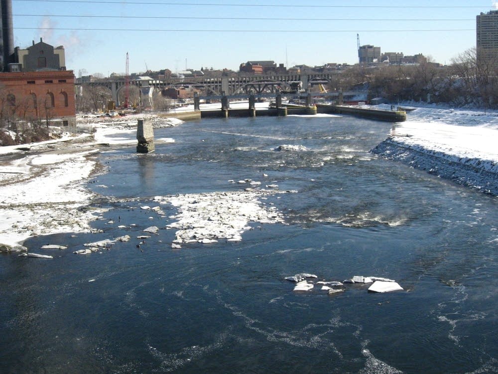
Dozens of history buffs and river lovers braved the sub-zero windchills in Minneapolis Wednesday to get a rare glimpse of the bottom of the Mississippi River.
It's a view that only comes around every 20 years or so, as inspectors check out stormwater tunnels between the Upper and Lower St. Anthony Falls dams near downtown Minneapolis.
Like pulling the plug in a bathtub, engineers opened the lower locks to drain off 13 feet of river, exposing an island, pieces of the old 10th St. bridge and a snomobile, among other things.
MPR's Tom Crann talked with National Park Service ranger John Anfinson about the unusual sight.


Turn Up Your Support
MPR News helps you turn down the noise and build shared understanding. Turn up your support for this public resource and keep trusted journalism accessible to all.
Dear reader,
Your voice matters. And we want to hear it.
Will you help shape the future of Minnesota Public Radio by taking our short Listener Survey?
It only takes a few minutes, and your input helps us serve you better—whether it’s news, culture, or the conversations that matter most to Minnesotans.
