Editor’s notebook: Covering the environment in 2014December 31, 2014 4:36 AMBy MPR News StaffWater, copper-nickel mining and climate change were the top environmental topics for MPR News in 2014. Concerns about pipelines carrying crude oil, the decline in pollinators and the anniversary of the Wilderness Act that created the BWCA are also on the list.
Best of Minnesota Scenes from 2014December 31, 2014 4:15 AMBy Ann Arbor MillerMinnesota is a fine place for photographers to hone their skills. As 2014 draws to a close, we selected one photograph for each of the past 12 months to highlight.
50 years of memory making in the Boundary WatersSeptember 15, 2014 9:54 AMBy Martha LuedersSimplicity. That’s what the Boundary Waters has offered many.
‘Fargo’ takes home two EmmysAugust 26, 2014 2:51 AMBy Hart Van DenburgThe FX television adaptation of ‘Fargo,’ which we chronicled every week here, won an Emmy on Monday night for best miniseries, and Adam Bernstein won an Emmy for best direction of a miniseries. Related: The Emmys: Past winners trump new shows Here’s the full list of winners presented by the Academy of Television Arts &…
17 great places to watch July 4th fireworksJuly 2, 2014 11:34 AMBy Michael OlsonFlooding has shifted some of the festivities this year, but Independence Day is expected to go off with a bang this year across Minnesota.
‘Fargo’ recap, season finale: Wolf at the doorJune 18, 2014 2:14 AMBy Jeff AlexanderQuick recap: Prey becomes predator and vice versa, as the finale proves that what goes around comes around. • Complete season recaps Real good? An outstanding conclusion to the series. Most long-form stories — particularly morality plays, as this has inevitably turned out to be — have to choose between being unpredictable and being satisfying.…
Just in time: MN trooper saves woman from flooded carJune 17, 2014 7:59 AMBy MPR News StaffIf it wasn't for a Minnesota State Patrol trooper and other rescuers Monday night, we want me mourning the flooding's first victim.
Monday’s storm: photos, tweets from around MinnesotaJune 17, 2014 3:00 AMBy Michael OlsonDo you have photos of the recent storms, or storm damage? Send a tweet to @mprweather, or use the hashtag #mnwx.
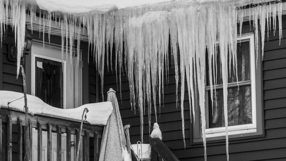
Snow, icebergs, deluge: 5 weirdest days this springJune 16, 2014 8:11 AMBy MPR News StaffThere’s nothing quite like spring in Minnesota, when the elements conspire to ruin your outdoor parties, delay your home projects, kill your baseball and, occasionally, attempt to kill you.
Duluth wins Outside Magazine’s Best Town contestJune 16, 2014 7:56 AMBy Dan KrakerDuluth has won Outside Magazine's online contest for Best Town, outpolling fellow finalist Provo, Utah in a social-media driven competition.