


1855 Land Survey Map
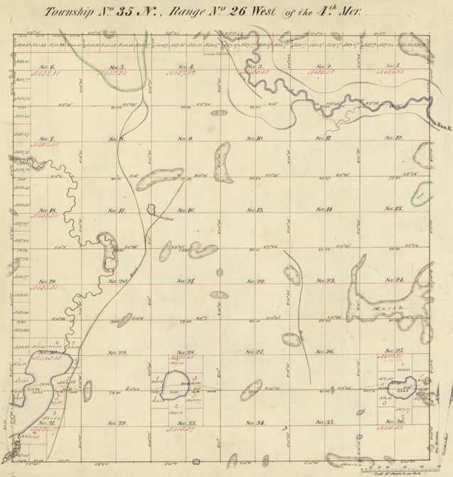
This land survey map of township 35N, range 26W shows the Baldwin area in 1855.
Source: State of Minnesota
Sponsors
In The Spotlight
-
The Current Music Blog
Your daily note for good music, news and pop culture. With attempted jokes.
- Become a Member
- Member Connect Accounts
- Leadership Circle
- Sustaining Members
- Member Discounts
- Become a Sponsor
- Tax Information
- Planned Giving
- Vehicle Donation
- Donate Stock
Minnesota Public Radio ©2023 All rights reserved